Description
- Map Size: 20 inches x 24 inches | Ready To Frame | Archival Quality Reproduction | Satisfaction Guaranteed |
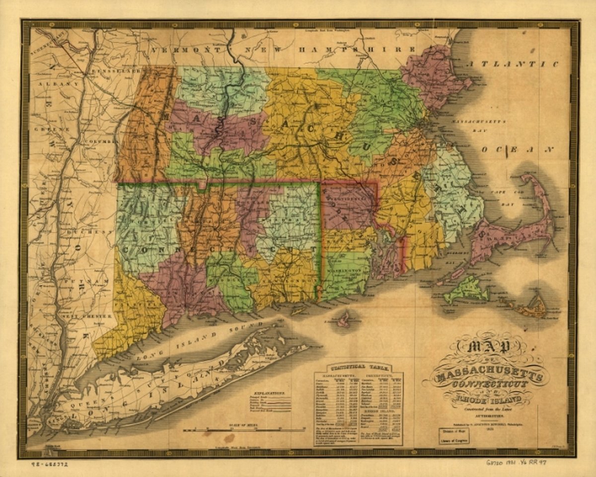
- Description: 1831 map of Massachusetts, Connecticut and Rhode Island; constructed from the latest authorities. One of the earliest county and township maps to show proposed railroads in New England. Indicates rail line between Schenectady and Albany, N.Y.
- Map Subjects: New England |
1831 map of Massachusetts, Connecticut and Rhode Island; constructed from the latest authorities. One of the earliest county and township maps to show proposed railroads in New England. Indicates rail line between Schenectady and Albany, N.Y.